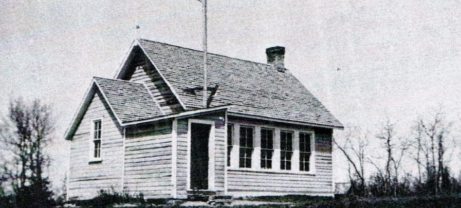
Pembina Crossing School
Pembina Crossing School District #324 Manitoba Archive MES2 Pembina Crossing 324 N23026
Maps
.JPG)
Published in 2000, this map shows all of the rural schools in the Pembina Municipality.
PMA_2013_015117
Published in 2000, this map shows all of the rural schools in the Pembina Municipality.
PMA_2013_015118
Published in 2000, this map shows all of the rural schools in the Pembina Municipality.
PMA_2013_015116
Published in 2000, this map shows all of the rural schools in the Pembina Municipality.
PMA_2013_015120
Published in 2000, this map shows all of the rural schools in the Pembina Municipality.
PMA_2013_015119
Published in 2000, this map shows all of the rural schools in the Pembina Municipality.
PMA_2013_015121
.JPG)
Rev. L. O. Armstrong's diary of his journey from Emerson to the Turtle Mountains.
PMA_2025_079973